PhD Students
XLI Cycle

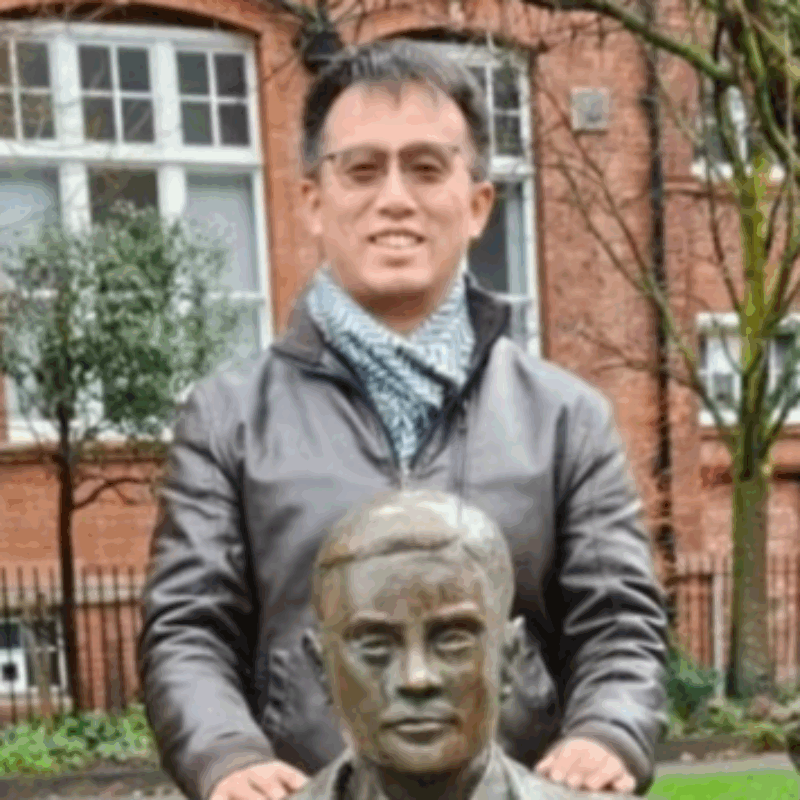
Yang CHEN
Research Areas:Technology for Industry; Data Science methods Master Degree:Master of Science, University of Erlangen-Nürnberg Advisor:Michele D’Amico; Daniele Piazza
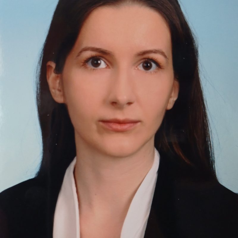
Riccardo Maria PIZZICHEMI
Research Areas:AI for Healthcare and Precision Medicine, Data Science Methods Master Degree:Medical Biotechnology, Università degli studi Milano-Bicocca Advisor:Marco Masseroli, Eugenio MontiniXL Cycle

Alex Matthew SHAVICK
Research Areas:AI for Healthcare and Precision Medicine Master Degree:BA in Medical Sciences, University of Oxford – BM BCh Medicine and Surgery, University of Oxford Advisor:Craig Glastonboury, Francesca IevaXXXIX Cycle

Egon PRIOGLIO
Research Areas:Technology for Industry, Data Science methods Master Degree:Management Engineering, Politecnico di Milano Advisor:Bianca Maria Colosimo
Michele Emanuel SODA
Research Areas:AI for Healthcare and Precision Medicine Master Degree:Bioinformatics for Computational Genomics, Università degli Studi di Milano and Politecnico di Milano Advisor:Craig Glastonboury, Alessandra MenafoglioXXXVIII Cycle

Haiyang WANG
Research Areas:AI for Healthcare and Precision Medicine Master Degree:M.Sc. in ECE, University of Macau Advisor:Luca MainardiAlumni
XXXVII Cycle

Benedetta FLAMMINI
Research Areas:Technology for Industry Master Degree:Applied Data Science, Università degli Studi dell’Aquila Thesis:Multi-Agent Pickup and Delivery in Dynamic Environments Advisor:Francesco Amigoni; Bruno Lacerda
YIJUN REN
Research Areas:AI for Healthcare and Precision Medicine, Data Science Methods Master Degree:Mathematical Engineering, Politecnico di Milano Thesis:Natural Language Processing for Regulatory Science: Aggregating Field Safety Notices to Support Post-Market Surveillance of Medical Devices Advisor:Enrico CaianiXXXVI Cycle

Marta Cannistrà
Research Areas:Policy, Innovation and Society Master Degree:Management Engineering, Politecnico di Milano Thesis:Reducing dropout rates: the challenge of Learning Analytics in Higher Education Institutions Advisor:Anna Paganoni, Tomaso Agasisti
Federica Corso
Research Areas:AI for Healthcare and Precision Medicine Master Degree:Bioengineering, Università degli Studi di Padova Thesis:A real-world data statistical approach to support decision-making in clinical and health policy Advisor:Anna Paganoni; Fabio Pammolli
Leonardo Crespi
Research Areas:AI for Healthcare and Precision Medicine, Data Science Methods Thesis:Towards a comprehensive application of deep learning methods in medical imaging: semantic segmentation, features extraction, synthetic image generation Advisor:Daniele LoiaconoXXXV Cycle

Lara Cavinato
Research Areas:AI for Healthcare and Precision Medicine Master Degree:Biomedical Engineering (Electronics biotechnologies), Politecnico di Milano Thesis:Representation methods for imaging-based cancer heterogeneity: Towards virtual biopsy and prognostic subtyping Advisor:Francesca Ieva; Pierluca Lanzi;Francesca Coppola
Research Areas:Policy, Innovation and Society Advisor:Fabio Pammolli
Leonardo Di Perna
Research Areas:Policy, innovation and Society; Data Science methods Master Degree:Biomedical Engineering, Universita’ Campus Biomedico di Roma Thesis:Beneath the Surface: Unveiling Real-World Organizations Hidden Digital Communication Networks Advisor:Matteo Matteucci, Luca Gastaldi, Mariano CorsoAndrea Lui
Advisor:Pierluca Lanzi
Davide Magnamini
Research Areas:Technology for Industry; Data Science methods Master Degree:Università di Roma Tor Vergata Thesis:Ontological Reasoning on Financial Knowledge Graphs Advisor:Stefano CeriFilippo Mela
Research Areas:Data Science methods Master Degree:Computer Science and Engineering Advisor:Matteo Matteucci
Sara Pidò
Research Areas:Data Science methods Master Degree:Computer Science; Politecnico di Milano Thesis:Exploiting AI and NLP methods for empowering naive users in solving data science problems Advisor:Stefano Ceri
Riccardo Scimone
Research Areas:Data Science methods Master Degree:Mathematical Engineering, Politecnico di Milano Thesis:Object oriented data analysis for non-homogenous processes Advisor:Piercesare Secchi
Francesco Scotti
Research Areas:Technology for Industry, Data Science methods Master Degree:Management Engineering, Politecnico di Milano Thesis:The impact of regional development policies on socio-economic development and sustainability transition Advisor:Marika Arena, Giovanni Azzone, Fabio PammolliXXXIV Cycle
Fabio Azzalini
Research Areas:Data Science methods Thesis:Data integration and ethical quality : fundamental steps of the data analysis pipeline Advisor:Letizia Tanca, Giovanni Azzone


